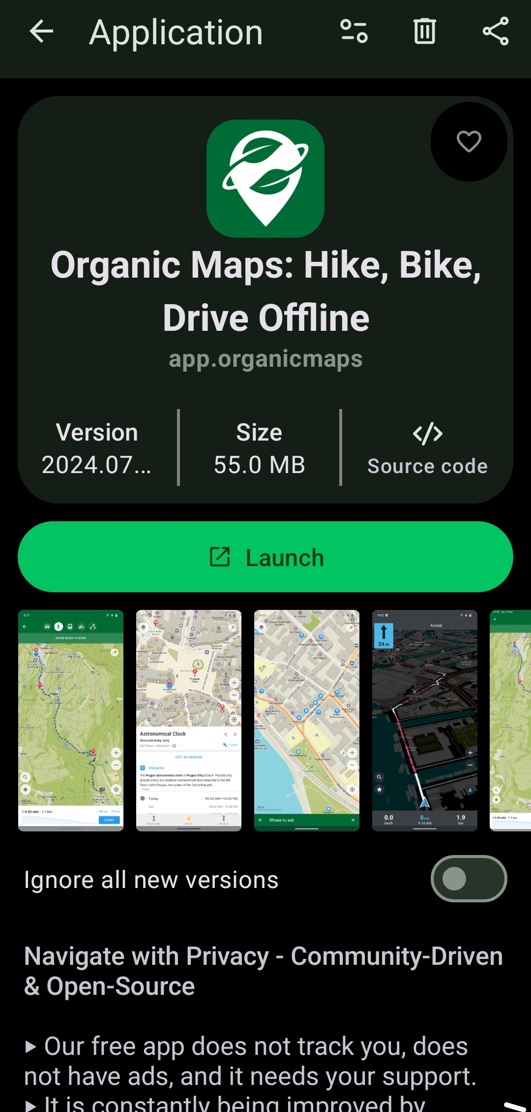
Long shot, but does anyone know of any mapping app where you can easily project a bearing/azimuth line, or a point a given bearing and distance from another point?
The only app I've found so far that can come close to what I need is Backcountry Navigator, which has a terrible UI. Everything else seems to be focused entirely on GPS navigation from where you are now to a known destination; I have yet to find one that allows even basic triangulation, to be able to identify the location of an observed object.


