this post was submitted on 29 Jul 2024
24 points (100.0% liked)
Map Enthusiasts
4053 readers
11 users here now
For the map enthused!
Rules:
-
post relevant content: interesting, informative, and/or pretty maps
-
be nice
founded 2 years ago
MODERATORS
you are viewing a single comment's thread
view the rest of the comments
view the rest of the comments
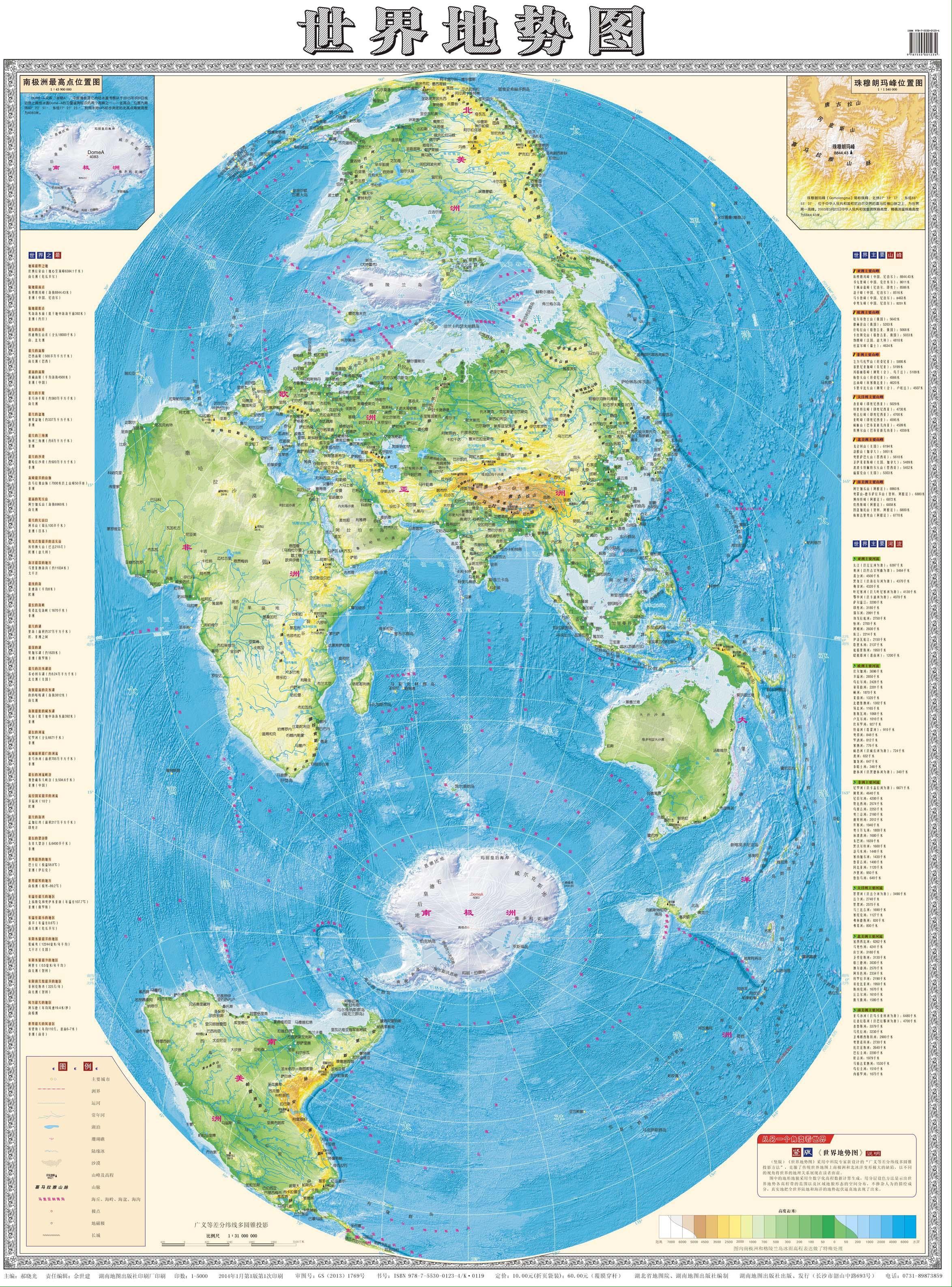
How is this a "Mercator-style projection"?
Also, people figured out the Earth was round long ago exactly because of these sorts of discrepancies. There just wasn't a lot of value in being hyper accurate since the purpose of a map before the invention of ocean ships was just walking from one city to another along roads.
I guess I mean the type of map that we grew up seeing in our schoolbooks and encyclopedias, the type that distorts the further you get from your starting point, but instead of putting Europe at the center of things, this map here starts from Asia, outwards.
EDIT: as such, it represents the Indian Ocean and South China Sea, Sea Of Japan coastlines more accurately (as would be seen from space), while the Mercator does it for the Mediterranean and middle Atlantic.
All projections of a sphere onto a flat plane introduce distortion. But there are lots of different projections though.
See this relevant XKCD:
The way I understand it, when you plot out the topologies of spacetime via Relativity, the same kind of thing can happen, the maths gets all weird and funky on you, can blow up into infinities at certain points, and we call them singularities.
It still kinda blows my mind that these things popped up in the math first (by Karl Schwarzschild in the trenches of WWI, 1915) and it wasn't until exactly half a century later their existence was physically detected for the first time (Cygnus X-1, in 1965).
Then you use a different mathematical tool to plot out spacetime, and you get white holes, Einstein-Rosen bridges and parallel universes.
Different maths for 3D (or 4D) topological maps of spacetime show us different phenomena, and that relevant XKCD serves as a perfect analogy of how many ways there can be of approaching the same topologies.
Or why the hell not try mapping things out in ten dimensions! Come up with M-theory for a multiverse!
just say wormholes you NERD
Black holes are actual singularities (by existing physics), though, not mere coordinate singularities like the poles. Coordinate singularities show up in GR too, but you can get rid of them by changing your coordinate system - a very common operation, apparently.
You're right the math is similar; you can learn a lot of differential geometry concepts just by looking at coordinates of, or projections onto a sphere. Curvature gets exponentially more complex as you step into 3 and then 4 dimensions, but the same mathematical objects apply.
(Interestingly, differential geometry in dimensions 5 and up is the same as in 4, and topology actually gets easier)
I'd ask for some of whatever you're smoking that makes you say all of this in response to a map, but I need to be able to drive a car today and I don't want a DUI.
What makes you think I smoked anything?
Why couldn't it be... edibles? :-P
And don't get me started on the topologies and symmetries of fields in quantum mechanics!
But seriously, I enjoy letting the mind take me for a nice long ride, using an artifact to trace connections to other things throughout history, and in this case it's the math of maps, their topologies.
Random topics on Lemmy sometimes lighting up my mind like a Christmas tree.
Also trying a little to get into the mindset of the era when some of these things were being cooked up and explored, shift perspective as best I can, from where and when I am. It's incomplete, but it's still fun. I probably got this type of "pinball narrative" from James Burke and his old history shows Connections and The Day The Earth Changed.
Sure, they had an understanding of how the thing warped, they could see with their own eyes that their flat math was kinda rubbery with curved surfaces, but they hadn't separated the two realms of geometry, hadn't figured out that you could have a triangle where the angles didn't add up to 180°.
It must have been very strange and disturbing to see math as imperfect, incomplete or mischievous in some way. Wasn't this the language of God? Therefore, shouldn't his language be perfect?
While this might be going on in your mapmaking mind, the king or emperor, the generals and admirals, and the religious authorities are looking closely at these maps, and here you are making something that has a hazy sense of sacrilege.
there was a whole hell of a or more to maps than "waking along roads". in fact, that was pretty much never a usage before cars. back then you walked roads you knew, roads with signs, or asked locals which turns to take. no one back then would take the time to make a map of their own town unless they were in a major city with many foreign travelers. remember, before the car 99% of people never left the town they were born in, and if they did they didn't go far. everyone knew their own area and the people in it. if someone saw a parson they didn't know that was often unusual and worthy of fear or suspicion.
maps were for unconquered lands. maps showed coasts and cliffs and forests. maps showed ports and currents and climates. they showed enemy positions they showed friendly taverns they showed where you weren't welcomed.
maps are not useful when vague beyond sating curiosity. an imprecise map was the result of many many deaths at sea. a ship's pilot back in the day (the navigator, kind of) would have a trove of maps and journals he inherited from The one he apprenticed under. some of those journals were the most valuable books in all human history. they created all international trade for centuries. these were basically very very long detailed turn by turn directions to get from Port to Port. like "depart from malaga Port heading 12.3 degrees west. there's a warm current for miles north of there during the months of summer. avoid it." things like that. they didn't necessarily get all that caught up by the whole roundness thing. they did it all by hands measuring distance and direction. what they struggled with was the accurate keeping of time to use the sun and stars to determine angle and latitude. the curvature of the earth is really only a massive problem in making world maps. even a map of all of China is barely affected by the curvature. world maps have always been vague because they're zoomed out too far to make out important details.
the thing about not leaving the town you were born in is false though, people travelled all the time to varying degrees. Hell a big thing was that everyone wanted to go on a pilgrimage to jerusalem once, and there were all kinds of privileges given to pilgrims for that reason. Basically if you were a pilgrim people had to give you free food and bed, and i think free travel too.
i mean this is all very dependent on time, place, and people. there are people that were fully nomadic at all times of human history. they certainly didn't stay in a town either. some people did travel, clearly. devout religious folk, merchants, well to do young men... there have always been exceptions, but on the whole as a norm, over 500 years ago most people didn't travel much. and more to my point, pilgrims traveling like that likely didn't have maps most of the time. they likely got directions to the next town by the people that lived there.